TW for hexmapping in TTRPGs

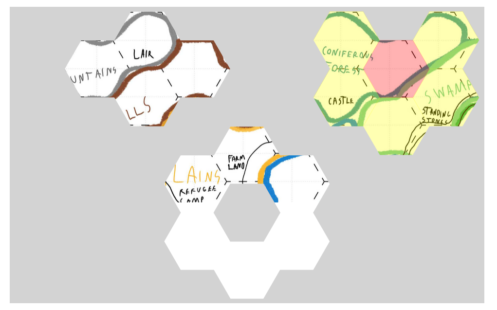
Latest demo is available here. Hex Map 8 is showcasing how I see an edit template working to define the map tiddler and its data. The last step in the process of setting up a map is to click on hexes to assign them to a current tiddler - so you can see at glance if there are any unassigned hexes (i.e those shaded in red)

It is now catering for the variations of hexagons (pointy vs flat) and grid arrangements ( odd rows/columns shifted vs even rows/columns) … however those variations have disrupted the navigation in the view template (Hex Map 5-7) … So still some work to do … I may need to revisit what co-ordinate system is in play as some variations may be easier to work with than others on this.

Its getting close to getting ready to finalise this as a package and wrap it into a plugin - I think some other functionality (like encounters with NPCs on a given tiddler/ hex etc ) would go into a separate plugin as there might be different flavours for this depending on the game etc.

That said I still want to work on the navigation links from the tiddler descriptions, the images/icons for individual location hexes … so it could be a while before its done.

CB :slight_smile:

Hey all,

So I’ve completed a plugin for this - its available here

It covers the following functionality:

  • Map Page toolbar button creates a new Map tiddler
  • Map tiddler edit screen has steps for creating the map and location tiddlers
  • Maps can use a background or location specific icons (two templates are available for flat and pointy hexes)
  • Location tiddlers have a viewtemplate addition for additional navigation by links

Cheers
CB

2 Likes

That’s impressive! Congratulations on the fantastic work! @Christian_Byron

Some questions, is it possible to configure how many hexes it opens when you click? It’s possible to define the locations per map?

Actually yes … If you edit either of the data dictionary tiddlers $:/plugins/ceebee/arpeegee-hex/directions/flat or $:/plugins/ceebee/arpeegee-hex/directions/pointy you can add or remove any neighbouring hexes you want. The indexes in these are relative coordinates so -1|1 is one row up and one column right. The rest of the data is used in the link description so north/-1|1 -1|-1 -2|0 is the direction text followed by relative coordinates again for adjacent hexes (ie if your facing north then these are the directions in front of you - north, north-west and north-east)

Yes - I think i understand your question - each location has a map field so its coordinates are only relevant on that particular map.

:slight_smile:

This looks great. Minor bug though - if an arbitrary location it selected, you see it and it’s neighbours. But then when selecting a later arbitrary location, the original middle spot becomes hidden again.

Thanks @nemo - The intention was that you can only click the yellow hexes to move about the map… I didn’t realised hidden parts of the map were clickable still … Have fixed this now

:slight_smile:

I thought the ability to activate arbitrary locations was a feature, not a bug. Only the loss of visibility on the center was a bug.

Without it, there is no more parachuting (launched by catapult, right?) behind enemy lines, or finding/digging a tunnel bugs bunny style and popping up in unknown regions.

You can add that as a feature - I was looking at it for a magic portal where the link is listed in a location tiddler’s text…, to do that you can add :

<$linkcatcher actions=<<hex.navigate.actions>>>
  <<hex.link directionText:"through the portal" navigateTo:"3|3" >>
</$linkcatcher>

Probably needs a widget in its own right …